Enlarge this map, or check out the campus map.
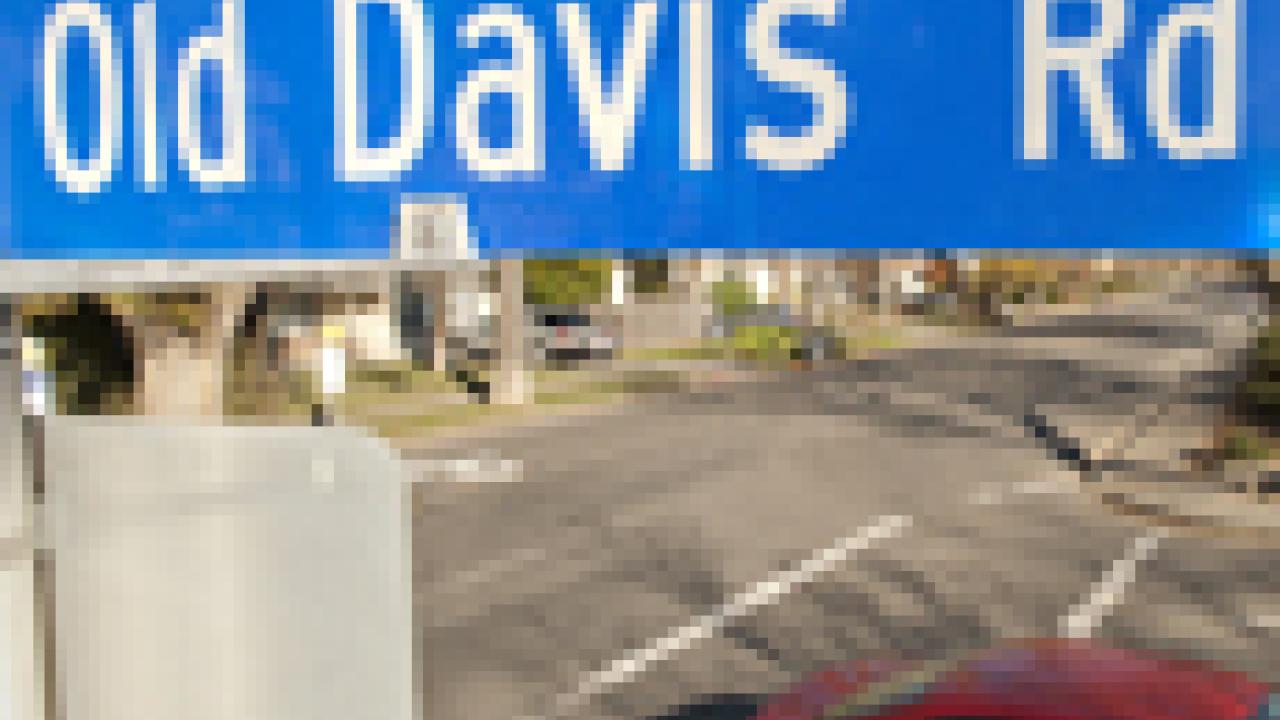
Giving directions at UC Davis is getting easier with the “new” Old Davis Road and other changes to the campus map.
'New road, new names' map (PDF)
The Old Davis Road extension, which opened in mid-December, provides a more direct route between the south campus and downtown Davis. Now, instead of a left turn, a right turn and another left, you keep going straight on Old Davis Road, which runs alongside the Conference Center, passes in front of the Hyatt Place hotel, and then cuts between parking Lots 5 and 5A, until you reach the bridge that leads into downtown.
But, in giving directions, you couldn’t tell people to simply stay on the “new” Old Davis Road all the way to First Street. Instead, you needed to point out that Old Davis Road turned into A Street at the bridge. Then you needed to follow A Street to First Street.
No more. The campus has taken down those A Street signs and replaced them with Old Davis Road signs. Which means Old Davis Road now runs all the way between Interstate 80 and First Street.
The campus made a similar navigational change in 2011 when it built the roundabout at the junction of Old Davis Road and California Avenue. This section of California Avenue, at the south campus, did not connect with the northern section of California Avenue, off Russell Boulevard.
In fact, the southernmost section of California Avenue was more often associated with La Rue Road, because this stretch of California Avenue was simply a short link between Old Davis Road and La Rue Road, the main thoroughfare on the western edge of the core campus.
The set-up made for difficult directions: “Turn onto California and go across the bridge, then take a quick left onto La Rue.”
So this section of California Avenue became La Rue Road. As a result, La Rue now extends all the way from Old Davis Road to Russell Boulevard. And directions from the south campus to the core campus are as simple as this: “Follow La Rue Road across the bridge and all the way around to Hutchison Drive and beyond.”
One other important name change: the rest of California Avenue in the south campus is now called Crocker Lane, between La Rue Road and Jungerman Hall, which houses the Crocker Nuclear Laboratory. Crocker Lane dead-ends there.
The northern part of California Avenue, off Russell Boulevard, retains its name.
Online
More about the “new” Old Davis Road and the conversion of the “old” Old Davis Road, along the arboretum waterway, into a path for pedestrians and bicyclists.
Media Resources
Dave Jones, Dateline, 530-752-6556, dljones@ucdavis.edu