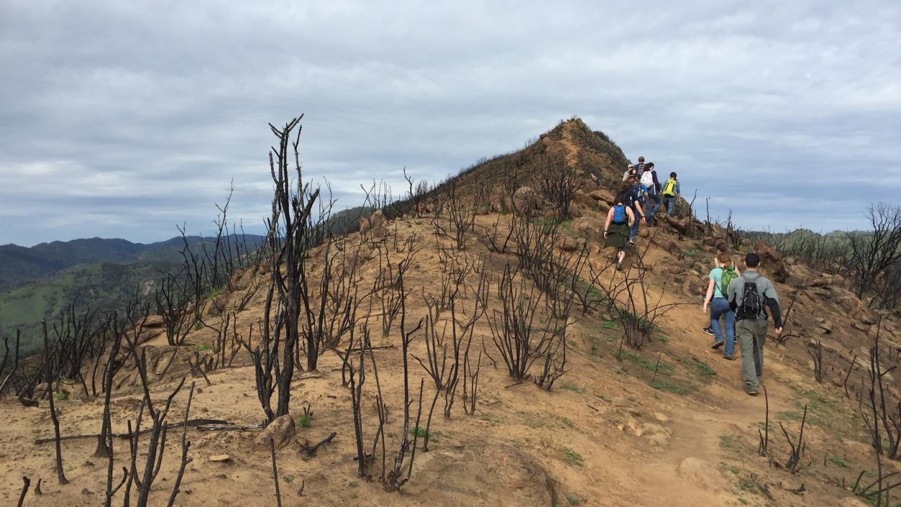
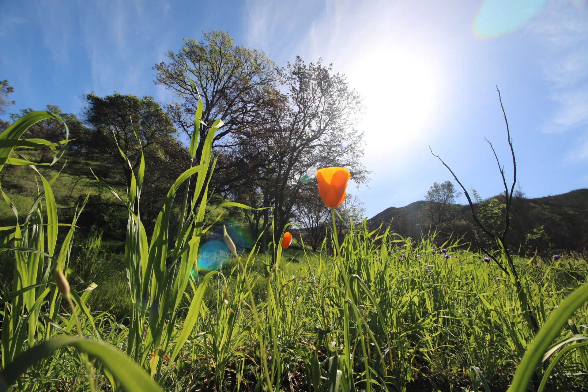
When hikers returned to UC Davis Stebbins Cold Canyon Reserve in 2016, a year after a wildfire swept through its expanse of oak trees and chaparral in Northern California, half of them expected to see a devastated landscape. But pre- and post-hike surveys conducted by the University of California, Davis, reveal that roughly a third returned energized, awed and excited about the changes they saw.
Among the survey responses: “This area is restoring itself.” “Awe-inspiring.” “Nature is always changing, sometimes sad. Today I felt hopeful.”
Results of the survey, published in the International Journal of Wildland Fire, indicate that people understand and appreciate the role of fire in natural landscapes more than is perceived.
“People can have really largely positive experiences hiking in a place that has burned,” said lead author Alexandra Weill, who conducted the survey while a graduate student researcher in Professor Andrew Latimer’s lab in the UC Davis Department of Plant Sciences. “They engage in it and find it very interesting and surprisingly beautiful. That can be used as a tool in education and outreach as places around us recover from wildfire.”
Getting the prescribed burn message
Survey responses were gathered from about 600 people between May 2016 and June 2017. Responses indicate that most participants — about 70 percent — were getting the message that prescribed burns can benefit ecosystems and reduce the threat of catastrophic fire.
Survey participants were highly familiar with the narrative of the West’s history of fire suppression and fairly familiar with fire topics related to conifer forests. But they were less knowledgeable about fire’s history and role in the shrublands and woodlands that dominate much of Northern California.
Several of the state’s most devastating recent fires — the Camp Fire in Paradise, Tubbs and Kinkade fires in Santa Rosa, the Mendocino Complex Fire — were in environments including oak, woodland and chaparral, such as at Stebbins Cold Canyon. Fires in these areas burn differently than those in conifer forests.
This disconnect could indicate a gap in fire outreach and education. Weill suggested that educators and agencies adjust the narrative to reflect people’s local landscape.
Nuanced views
While positive responses were far more common than expected, most people held mixed views regarding effects of the fire. For example: “I know it’s good, but it’s sad when it’s out of control and people lose homes.” “I understand [it] needs to happen — but devastating!”
Such wariness is not surprising but it is illuminating, Weill said.
“People have more nuanced opinions than we give them credit for in understanding positive and negative effects of fire, but also difficulty in reconciling what they know about good fire versus what they see in the news or personal experiences,” said Weill.
About Stebbins Cold Canyon Natural Reserve
Stebbins Cold Canyon is part of the University of California’s Natural Reserve System and is operated by UC Davis.
The reserve is currently closed to the public following state and county stay-at-home directives related to COVID-19. (Read the full closure statement on the reserve’s website.)
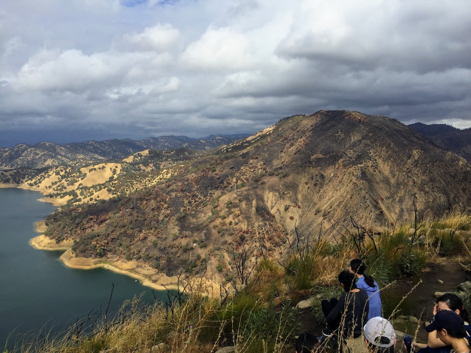
Located about 20 miles west of main campus, university researchers and citizen scientists use the reserve as a field site and outdoor classroom. Seasonal springs provide watering areas for wildlife. When open, a public hiking trail leads roughly 50,000 hikers each year past grasslands, blue oaks, woodlands and chaparral, and up a ridgeline that offers sweeping views of Lake Berryessa. In July 2015, the Wragg Fire burned about 8,050 acres before it was fully contained two weeks later.
This study was funded by the UC Natural Reserve System.
Additional co-authors include Andrew Latimer and Lauren Watson in the UC Davis Department of Plant Sciences.
Media Resources
Alexandra Weill, UC Davis Plant Sciences, amweill@ucdavis.edu
Kat Kerlin, UC Davis News and Media Relations, 530-750-9195, kekerlin@ucdavis.edu