(Editor's note: Within hours of the Aug. 24, 2014, Napa earthquake, researchers from UC Davis' Department of Earth and Planetary Science were on the ground making measurements of surface ruptures and visible evidence of fault movements. But geologists no longer have to do all their work in the field or on a map. UC Davis has a unique facility, the W. M. Keck Center for Active Visualization in Earth Sciences (KeckCAVES), which allows researchers to study from earthquakes in virtual reality. This 2010 feature describes how the KeckCAVES was used to study the Haiti and Mexicali earthquakes.)
Geologists at the University of California, Davis, are getting a close-up look at the effects of recent catastrophic earthquakes in Haiti and Baja California — without setting foot off campus. Virtual reality equipment at the UC Davis Keck Center for Active Visualization in Earth Sciences is allowing researchers to assess damage and predict whether faults are likely to move again in the near future.
The project could also be a foretaste of future disaster response, when detailed, near real-time three-dimensional imaging may enable both emergency planners and scientists to help from afar.
"Since the Haiti disaster in January, several large earthquakes have caused significant loss of life and property around the world," said Louise Kellogg, professor of geology at UC Davis and director of the Keck Center. "While such a series of large earthquakes is not unusual, statistically speaking, it does focus attention on how vulnerable societies are to such events — and on the need for better preparation and understanding of earthquakes."
The UC Davis facility, a collaboration among computer scientists and geologists, features projection screens on three walls that create an immersive, interactive environment. Using the facility, scientists can walk — or fly — into a three-dimensional, virtual representation of a landscape.
The U.S. Geological Survey tapped the center's scientists immediately after the Jan. 12 Haiti earthquake to help analyze the very large sets of data coming in from satellites and aerial imaging of the disaster area.
A magnitude 7.2 earthquake that struck near Mexicali just south of the Mexico-U.S. border on April 4 provided another opportunity for the Keck Center to gather and analyze data.
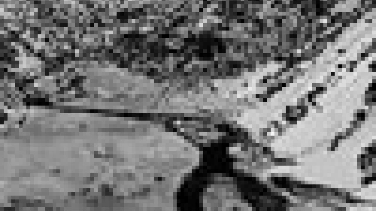
Much of the earthquake data used by the Keck Center researchers is collected by a form of imaging known as LiDAR, for light detection and ranging. LiDAR scans the ground with pulses of laser light to create a very accurate, three-dimensional representation of the Earth's surface — including buildings, geological features and vegetation.
At UC Davis, LiDAR images are being combined with existing topographic maps and aerial photographs using software called Crusta, developed by Tony Bernardin, a graduate student in computer science at UC Davis.
The software allows researchers to "fly" over the terrain, swoop down to examine interesting features and pick out and highlight details that would otherwise be hard to see.
For example, warehouses by the harbor in Port-au-Prince, Haiti, look undamaged on a satellite photo, said Eric Cowgill, associate professor of geology at UC Davis.
But with three-dimensional imaging, ripples become apparent in the roofs, indicating that the buildings are more damaged than they appear.
"If you were on the ground, you could see this damage, but a physical inspection is not very efficient — and you would be getting in the way of rescue and recovery operations," Cowgill said.
The UC Davis team remains in the early stages of analyzing the LiDAR data. The scientists have downloaded more than 1.5 terabytes of data, according to research specialist Chris Bowles, and have interactively visualized data sets containing more than 2.7 billion point measurements in files 60 gigabytes or larger on disk.
The geologists hope the data will allow a better understanding of the Enriquillo fault, which runs for 750 miles east-west through Haiti and the Caribbean. About 20 miles of the fault moved in the Jan. 12 quake, and more earthquakes could follow along the fault as a result.
Michael Oskin, an assistant professor of geology at UC Davis, is leading the study of the Mexicali quake, which he says will yield the largest, most comprehensive set of data on an earthquake rupture to date. (Unlike the Haiti earthquake, which involved movement in a fault deep underground, the Mexicali earthquake created a rupture in the ground surface).
"We can map out the rupture — and see more in the virtual environment than we could if we were on the ground," Oskin said.
Oskin hopes that the effort will improve scientists' understanding of how faults work and behave, and allow better prediction of a fault's seismic hazard.
Even before the Haiti earthquake, the UC Davis team was already discussing with state and federal officials and other scientists how to use the Keck Center's powerful computer imaging in responding to earthquakes.
In California, for example, extensive baseline LiDAR and aerial mapping now under way could be used to generate before-and-after comparisons following future major earthquakes.
The Haiti earthquake is providing an opportunity to test some of these concepts.
"We're learning how complex the process is, and how much data there will be when this happens in California," Kellogg said.
Data collection from Haiti is being led by the University of Rochester and funded by the World Bank. The U.S. Geological Survey has played a coordinating role in bringing institutions together.
The Keck Center was established in 2004 with a $1 million grant from the W.M. Keck Foundation. Research and student participation in the center is supported by grants from the National Science Foundation.
Media Resources
Andy Fell, Research news (emphasis: biological and physical sciences, and engineering), 530-752-4533, ahfell@ucdavis.edu
Louise Kellogg, Geology, (530) 752-3690, kellogg@ucdavis.edu
Eric Cowgill, Geology, (530) 754-6574, escowgill@ucdavis.edu
Michael Oskin, Geology, (530) 752-3993, meoskin@ucdavis.edu