A team of UC Davis scientists and flood experts have “reverse engineered” FEMA data regarding the federal agency’s new Risk Rating 2.0 to better understand expected premium changes for California policyholders down to the zip code.
Risk Rating 2.0 will be formally introduced on Oct. 1 and is considered FEMA’s most significant reform to the National Flood Insurance Program (NFIP) in 50 years.
The analysis, led by Professor Nicholas Pinter with colleagues Ryan Miller and Peter Hansen, includes an interactive map and is posted at the UC Davis Center for Watershed Sciences’ California WaterBlog.
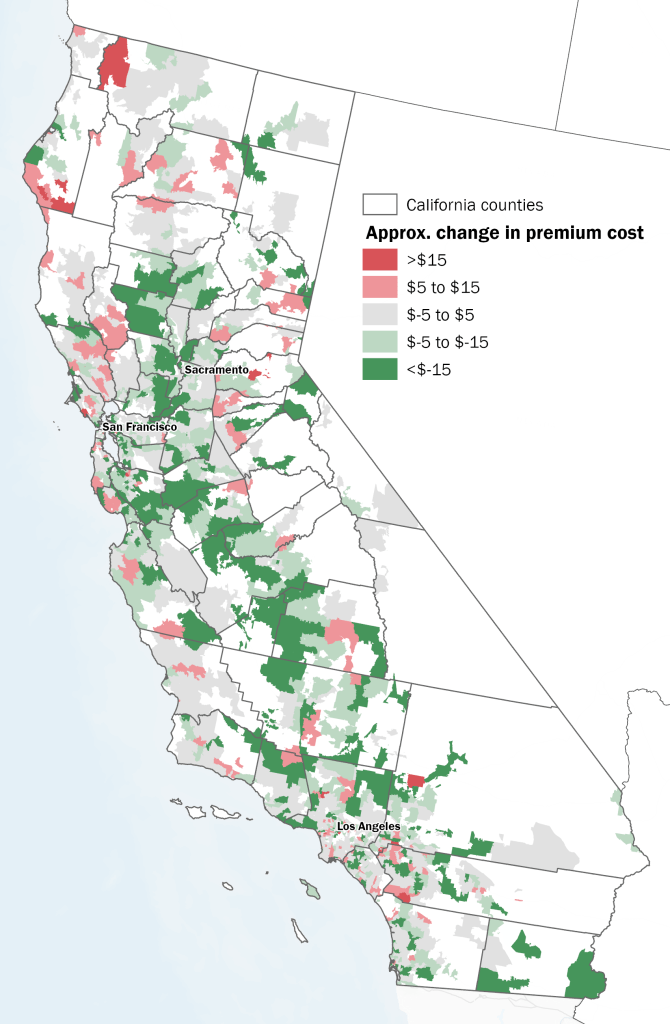
Nationwide, about 77% of customers of the National Flood Insurance Program (NFIP) will see premium increases. The analysis shows that most California policyholders will see small increases but, overall, the state will see a discount of more than 10 percent, though it varies widely.
Key highlights
Sacramento: 4 of California's top 5 zip codes with the most NFIP policies are around Sacramento. Three of them in Natomas--95833, 95834, 95835--will see modest declines in premiums. But the Pocket area, 95831, is to see increases. Premium decreases are expected for most of the Sacramento Valley and San Joaquin Valley.
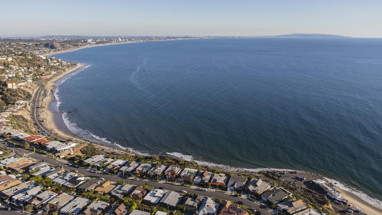
Los Angeles: Zip code 90265 (Malibu) has the steepest discount for any zip code in CA—an average of more than $40/month. The Santa Monica foothills and Hollywood Hills also will see larger premium decreases. The San Fernando Valley and LA Basin will see modest increases.
San Francisco Bay Area: Many low-lying coastal areas will see premium increases, while the foothills will experience significant discounts. South San Francisco (94080), Pacifica (94044) and Millbrae (94030) will see increases in the $5-7/month range, while suburban mountainous areas like Oakland Hills and San Ramon will have decreases of more than $20/month.
Davis: The 95616 zip code, including western Davis and the university, will see average decreases of nearly $4 per month, while 95618 to the east will see increases greater than $4.
The research group is trying to get better, clearer data to assess how and how well coastal flooding and future climate change are reflected in the new RR2.0 premiums. They are also studying the effects of levees and the different kinds of flooding that threaten California and other states.
Media Resources
Kat Kerlin is an environmental science writer and media relations specialist at UC Davis. She’s the editor of the “What Can I Do About Climate Change?” blog. kekerlin@ucdavis.edu. @UCDavis_Kerlin